View larger map
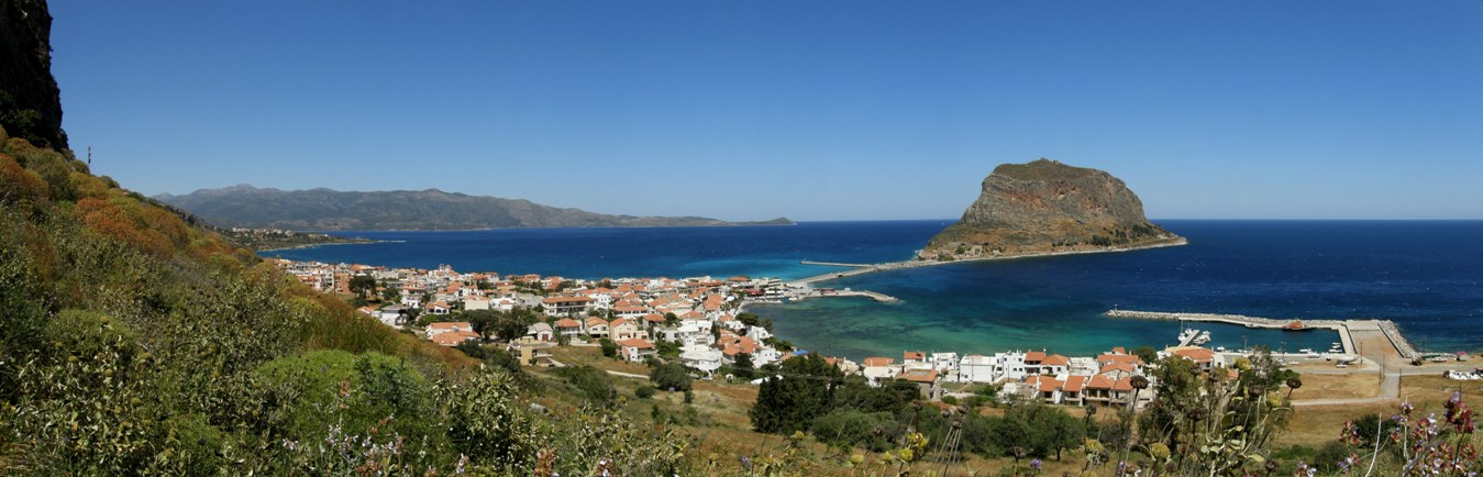
The route begins in the main square in Gefyra, Monemvasia’s new town. Follow the asphalt road in an approximately northerly direction for 350m between the hotels and beside a stream bed leading southwest. After 370 m the road crosses the stream bed. Follow the unsurfaced road for 280 m to the beginning of the path to Aghios Nikolaos. At first it winds up the side of Mt. Samaraki, with some difficulty, but soon arrives beneath the ruins of old hermitages with traces of Byzantine frescoes. From a prominent rock, the view of Monemvasia fortress town is truly magical.
The path continues southwest up a more gentle slope, reaching a large plateau of old terraced fields some 1,430 m later, then turning west, leaving the ruined Grigoris Monastery on the left, to the southwest, as well as the P2B path to the village of Aghia Paraskevi. The path to Aghios Nikolaos continues up to a ridge (altitude 425 m) between the peaks of Soumani and Halkos, then goes downhill; In many places here it is cobbled. After passing the ruined chapel of Aghia Marina, after some 2,525 m the route joins a narrow unsurfaced road heading west. After 1,930 m the route crosses a wider unsurfaced road leading south (to the left) to the village of Tairia and northwest (to the right) to Aghios Nikolaos, another 1,200 m further on.
| Category | Mountain trek | |
| Route | Trek | |
| Length (m) | 8,456 | |
| Terrain (m) | Path | 4,241 |
| Unsurfaced road | 3,307 | |
| Surfaced road | 908 | |
| Altitutde (m) | start | 10 |
| finish | 230 | |
| Altitutde (m) | lowest | 10 |
| highest | 425 | |
| Slope (average %) | ||
| Overall direction | W | |
| Difficulty | 3 (1-5)  |
|
| Signposts | FEW | |
| Beauty | 3 (1-5) |
|
| Drinking water | NO | |
| Vegetation | 2 (1-5) |
|
| Display the route via Google Earth |
||
 |
||